

Spectral Remote Sensing and Geospatial Intelligence for Advanced Mineral Exploration
From regional mineral targeting to camp-scale discovery using satellite imagery, mineral systems, and AI-driven geospatial analysis
About Us
GeoSpectra is an Australian company delivering advanced mineral targeting through spectral remote sensing, exploration data analysis, and AI-driven geospatial modelling. We focus on precious metals, base metals, and critical minerals by processing and integrating multi- and hyperspectral satellite imagery (WorldView-3, EnMAP, Sentinel-2, ASTER, and PRISMA) with other exploration datasets for regional to camp-scale exploration.
Our Services
-
![Multispectral Mineral Mapping]()
Multispectral Mineral Mapping
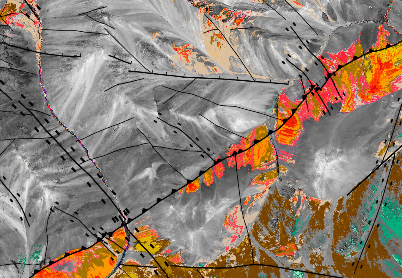
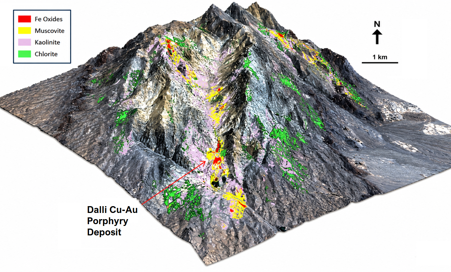
GeoSpectra delivers advanced spectral analysis of medium to high-resolution multispectral imagery (e.g., Aster and Worlview-3) to map key alteration minerals (clays, micas, sulphates, carbonates, iron oxides, and silica) and structures in regional to camp scale.
-
![Hyperspectral Mineral Mapping]()
Hyperspectral Mineral Mapping
GeoSpectra delivers advanced spectral analysis of hyperspectral satellite imagery (EnMAp and PRISMA) with hundreds of bands to map key alteration minerals of the area’s mineral systems, including favorable clays, micas, sulphates, carbonates and iron oxides in a district scale.
-
![Structural and Lithological Mapping]()
Structural and Lithological Mapping
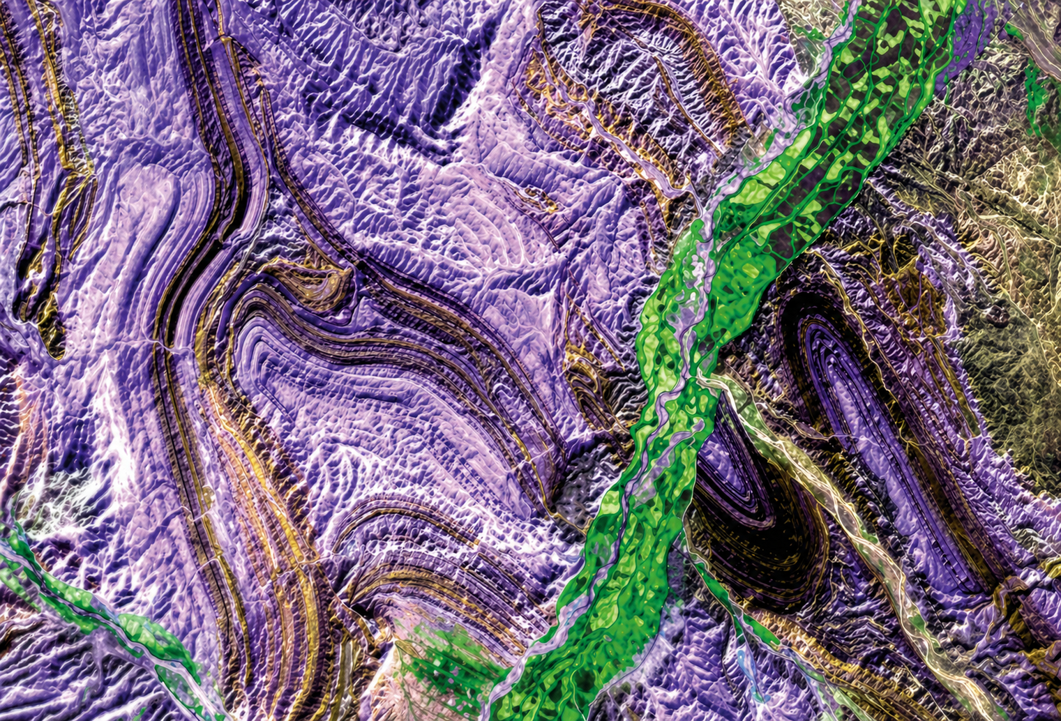
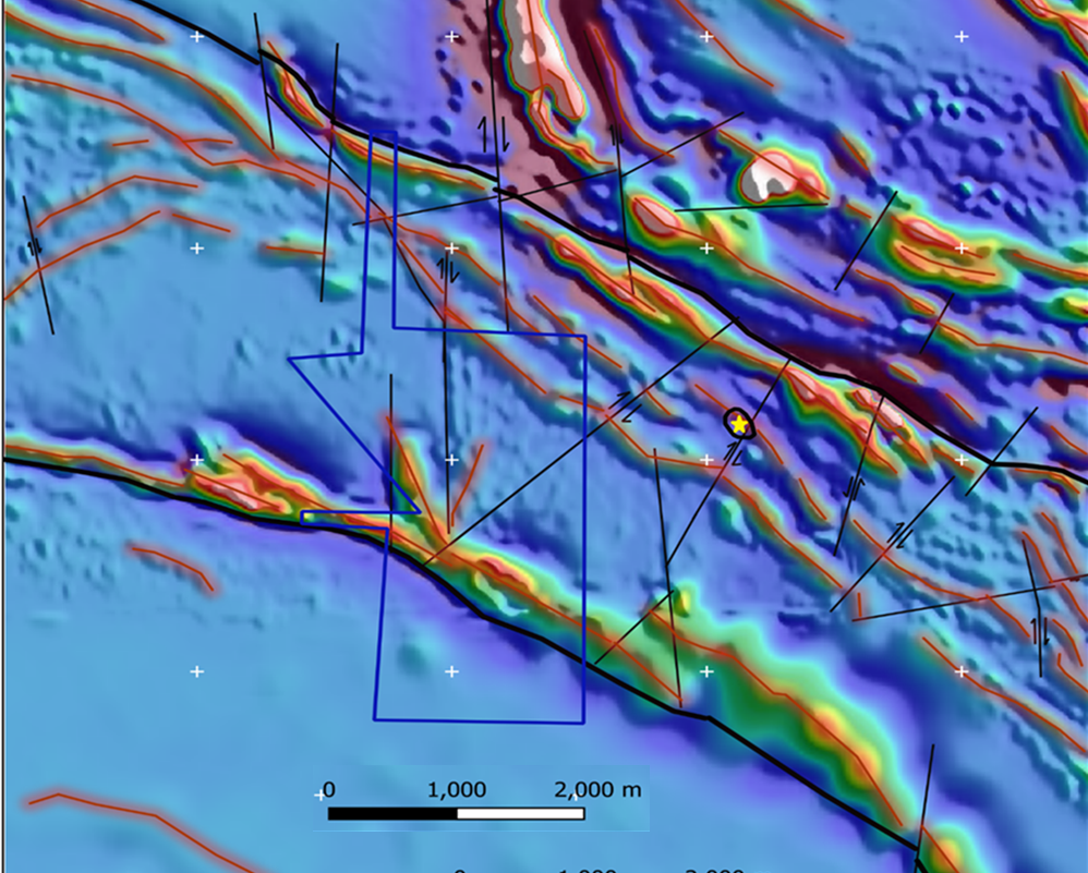
GeoSpectra process high-resolution satellite imagery to delineate structures and lithological boundaries at regional to prospect scales. By integrating structural/lithological interpretation with other exploration data, we identify key geological controls on mineralisation.
-
![AI Data Integration- Mineral Targeting]()
AI Data Integration- Mineral Targeting
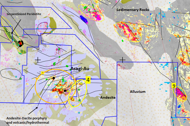
GeoSpectra applies conventional and AI-based exploration data integration to identify and prioritise mineral targets across regional to prospect scales for on-ground exploration. This approach improves targeting accuracy, reduces exploration risk, and supports efficient, data-driven decision-making.
-
![Geospatial Modeling]()
Geospatial Modeling
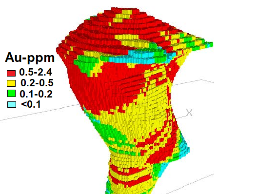
GeoSpectra uses machine learning-AI based semi-supervised classification, data integration and block modelling, within mineral systems frameworks, to optimize drilling targets in preliminary and detailed exploration stages, model the deposit, and estimate the reserves.
-
![Image Processing]()
Image Processing
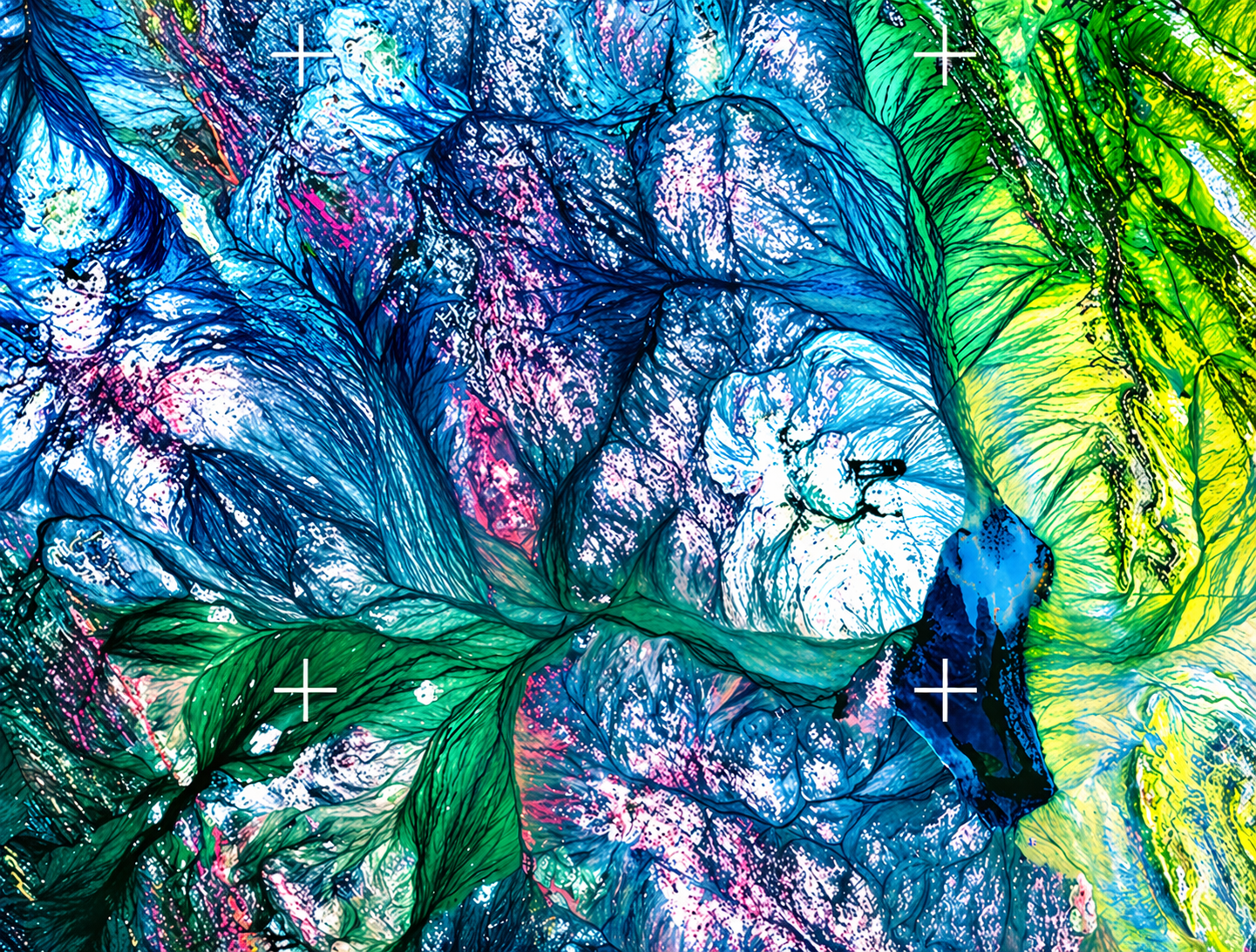
Some satellite imagery requires geometric, radiometric and atmospheric corrections before spectral analyses. GeoSpectra has developed inhouse workflows to correct them and apply 2D and 3D enhancement for advanced interpretation.
-
![Exploration Data Processing & Interpretation]()
Exploration Data Processing & Interpretation
GeoSpectra processes and interprets multi-source geochemical and geophysical datasets, integrating them with remote sensing and geological information to support mineral potential mapping from regional to deposit scale.
-
![Precious and Base Metals Targeting]()
Precious and Base Metals Targeting
GeoSpectra specializes in advanced spectral remote sensing to map key alteration minerals and delineate favorable structures. These insights are integrated with other geospatial data to define high-priority targets for regional to prospect-scale field exploration.
-
![Critical Mineral Targeting]()
Critical Mineral Targeting
GeoSpectra applies advanced spectral remote sensing to map indicator minerals associated with critical elements, including Li-bearing minerals in pegmatite dykes, calcite, silica and iron oxides in REE-bearing carbonatites, and dolomite, silica and iron oxides in Ga-Ge bearing MVT systems.


Why work with us
With over 25 years of industry expertise, GeoSpectra is a recognised leader in remote sensing and geospatial technologies. The company delivers advanced mineral targeting through high-resolution spectral satellite analysis integrated with multi-source exploration data—enabling smarter, data-driven decisions from regional screening to prospect discovery.

Deep Industry Knowledge
Leveraging deep industry expertise in intelligence exploration data analysis, GeoSpectra delivers tailored, multi-scale mineral targeting solutions for the mining industry.

High-Precision Image Processing
Using advanced satellite image processing techniques and specialised workflows, GeoSpectra delivers high-precision, reliable geospatial data that exceeds conventional approaches.

Strategic Data Partnerships
Collaborations with satellite data providers, geospatial technology partners, and university geoscience departments enable GeoSpectra to access high-quality, multi-source datasets/technologies—supporting comprehensive and well-informed solutions.
Our Partners & Clients
We work with leading clients and trusted partners to deliver high-quality outcomes.

BHP

BM8

Rio Tinto
Geopath Group

Mining

Chinova

Geoscience Australia

Blue Mountain Seven

EVEREST

Geosense
FAQs
-
GeoSpectra delivers advanced spectral remote sensing and geospatial solutions—mapping and integrating favourable mineral signatures and structures with multi-source data to support regional to prospect-scale target identification and prioritisation.
-
GeoSpectra supports clients across the mining industry and government sector, delivering advanced spectral and geospatial intelligence for mineral exploration.
-
GeoSpectra leverages advanced high-resolution multispectral and hyperspectral satellite imagery, GIS-based mapping, and AI-driven geospatial analytics to deliver accurate, data-driven insights for mineral exploration.
-
GeoSpectra enhances exploration and decision-making by processing and integrating advanced satellite data with AI-driven geospatial analytics to identify opportunities, reduce risk, and deliver actionable, data-driven insights.
-
GeoSpectra delivers tailored solutions aligned with each client’s objectives, data availability, and geological context—ensuring precise, relevant, and project-specific outcomes.