
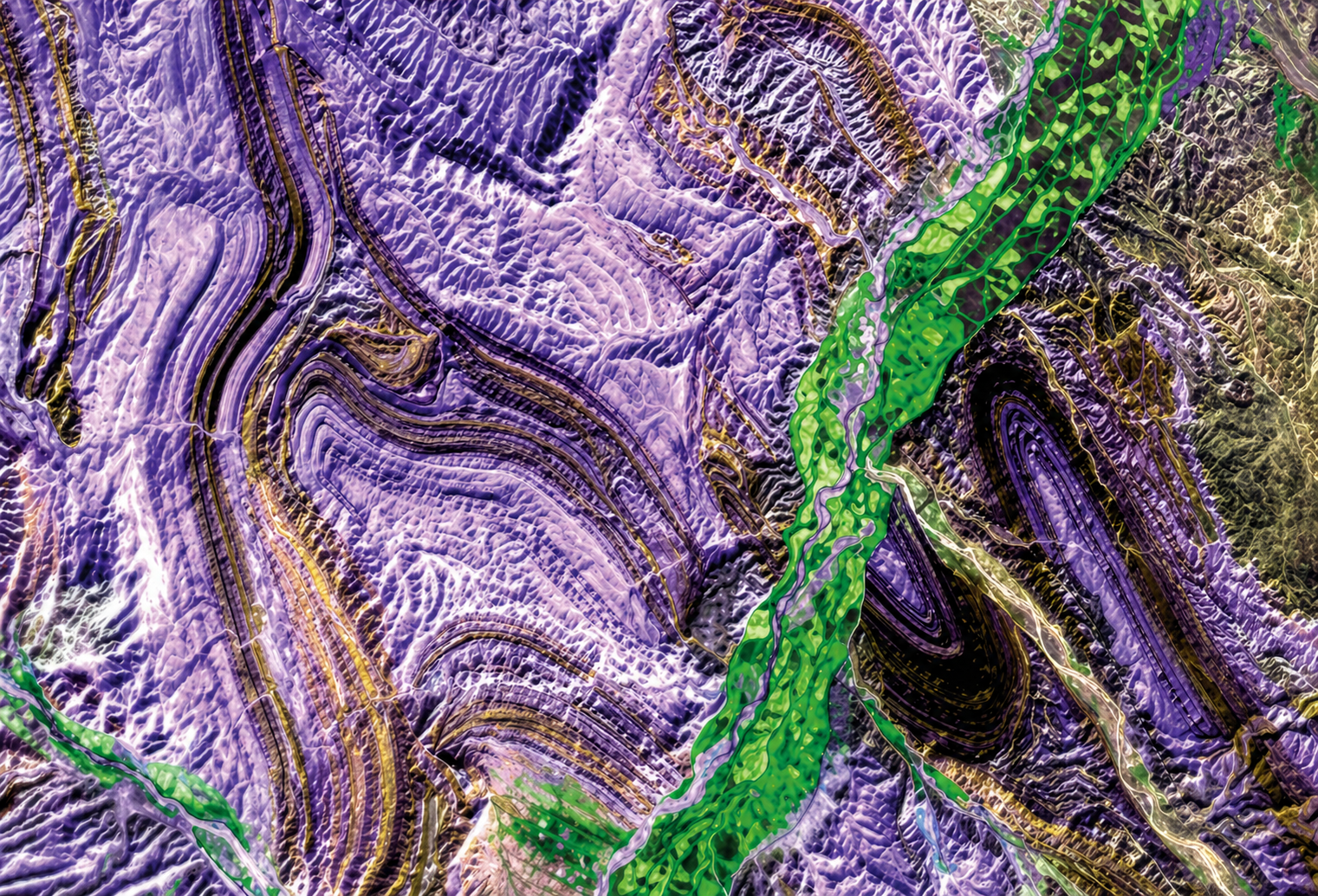
Structural and Lithological Mapping
GeoSpectra process high-resolution satellite imagery to delineate structures and lithological boundaries at regional to prospect scales. By integrating structural/lithological interpretation with other exploration data, we identify key geological controls on mineralisation.
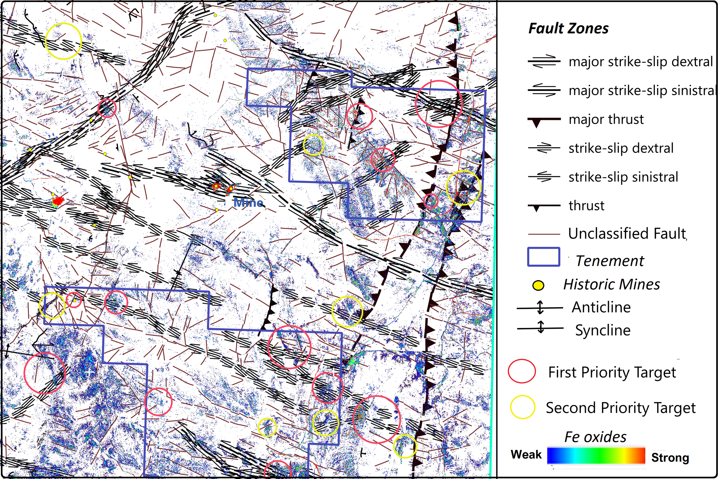
What is structural and Lithological Mapping?
Using very high-resolution satellite imagery such as Worldview-3 and NEO Pleiades, together with Lidar data, GeoSpectra provides deeper structural analysis that can be combined with mapped lithological boundaries to assess mineral prospectivity.
Our workflows allow:
Using a medium to very high-resolution satellite data (e.g., EnMap and Worldview-3 panchromatic band)
Using high-resolution Lidar DEM
Mapping cinematic of the faults
Mapping lithological boundaries
Integration modeling of the mapped favourable faults and lithologies with remotely sensed mineral maps to generate targets for regional and camp scale exploration.
Applications
Our structural and lithological mapping services are ideal for:
Greenfield exploration programs
Brownfield expansion
Porphyry and epithermal systems
Iron ore and base metal targeting
Regional geological mapping
Structural analysis for regional and camp-scale target generation
Why Choose Us

Advanced Technology
We combine cutting-edge hyperspectral analysis and remote sensing with real-world geological experience to deliver highly accurate mapping results.

Exploration-Focused Insights
Our outputs are not just data—they are practical, decision-ready insights that help you identify targets and plan drilling with confidence.

Cost-Effective & Scalable Solutions
From regional studies to detailed project-level mapping, our approach reduces field costs while maintaining high-resolution, reliable results.
Turning Satellite Imagery into Strategic Advantage
Turning satellite imagery into a true strategic advantage requires more than just access to data—it demands advanced analytics, geological expertise, and actionable interpretation. By leveraging high-resolution satellite and hyperspectral imagery, we extract detailed insights into surface composition, structural patterns, and alteration zones that are often invisible through traditional methods. This allows exploration teams to quickly identify prospective areas, reduce uncertainty, and prioritize targets with greater confidence. The result is faster decision-making, optimized resource allocation, and a more efficient pathway from early-stage exploration to drill-ready opportunities.
Unlocking the Power of Satellite Data
Satellite imagery holds immense potential, but its real value lies in how effectively it is interpreted. Through advanced analysis and expert geological insight, complex data is transformed into meaningful information about rock types, structural trends, and mineralisation patterns. This empowers exploration teams to work more efficiently, focus on high-value targets, and make confident decisions that drive successful outcomes.