
Our Team
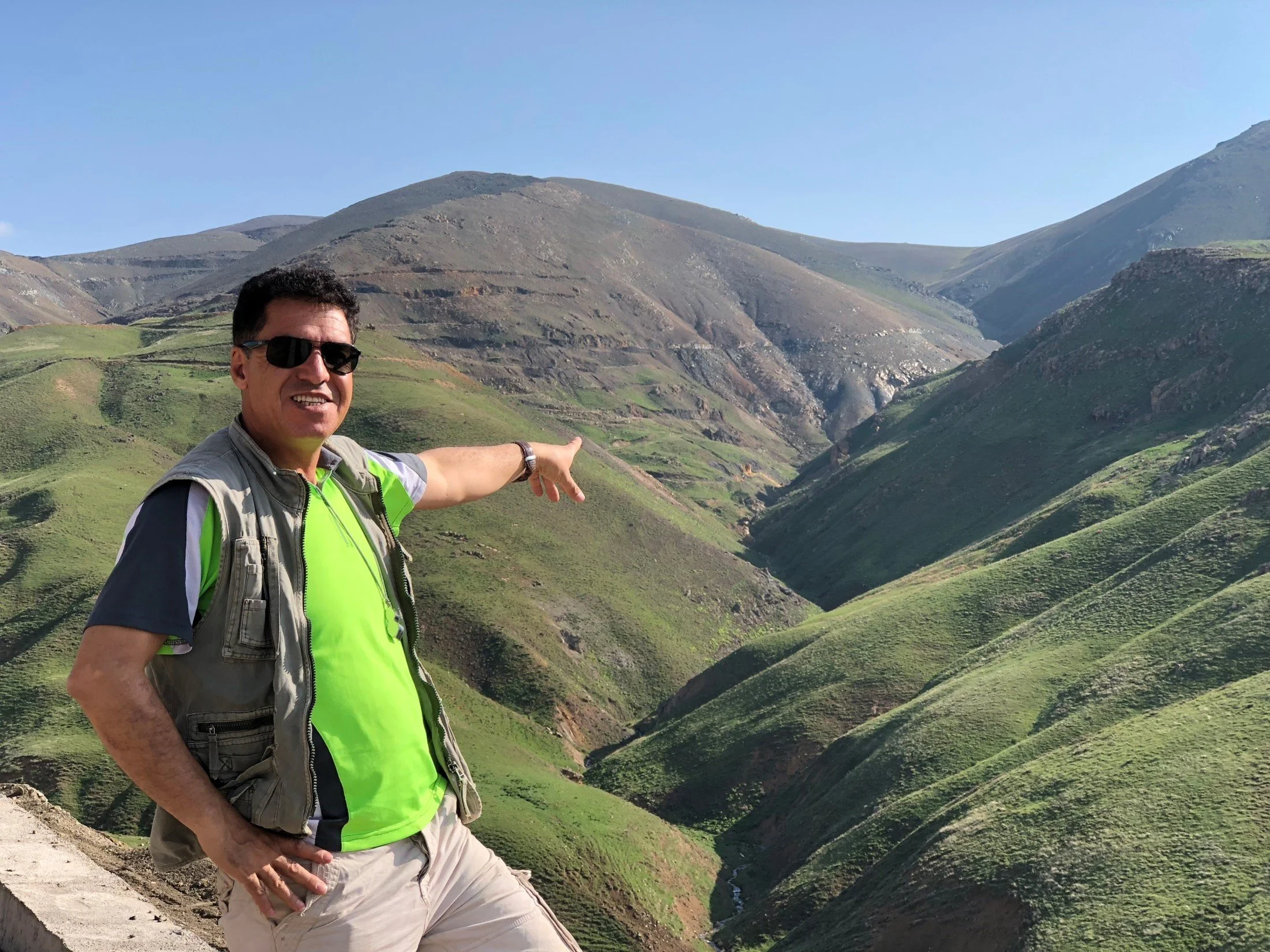
Dr Hooshang Asadi Haroni
Founderis the founder and managing director of the GeoSpectra company. He has 25 years of experience in spectral mineral remote sensing, geospatial data integration, mineral systems modelling, and several activities in various precious, base and critical elements exploration stages. These experiences, combined with his earlier work at Rio Tinto as an exploration geologist and remote sensing and GIS analyst, led him to discover several deposits, primarily using spectral remote sensing and machine-learning-based geospatial modelling during the initial exploration stage. He has published several papers in the field of mineral systems modelling and applications of remote sensing and GIS in mineral exploration.
Dr Marc Goossens
Non-Executive Directoris the non-executive director and spectral remote sensing expert at the Geo Spectra company. He has about 30 years of experience in spectral remote sensing, mainly managing the Geosense company. His primary expertise is spectral mapping of alteration patterns, mineral target generation, and field spectroscopy, where he carried out several projects for international companies such as Rio Tinto, BHP, Anglo-American, Newmont, Stratex, etc. He worked at Anglo-American and Newmont for several years. In early 2000, Marc found an opportunity in the growing UAV market when he founded URSUS Airborne and pioneered using drones for geoscience applications.
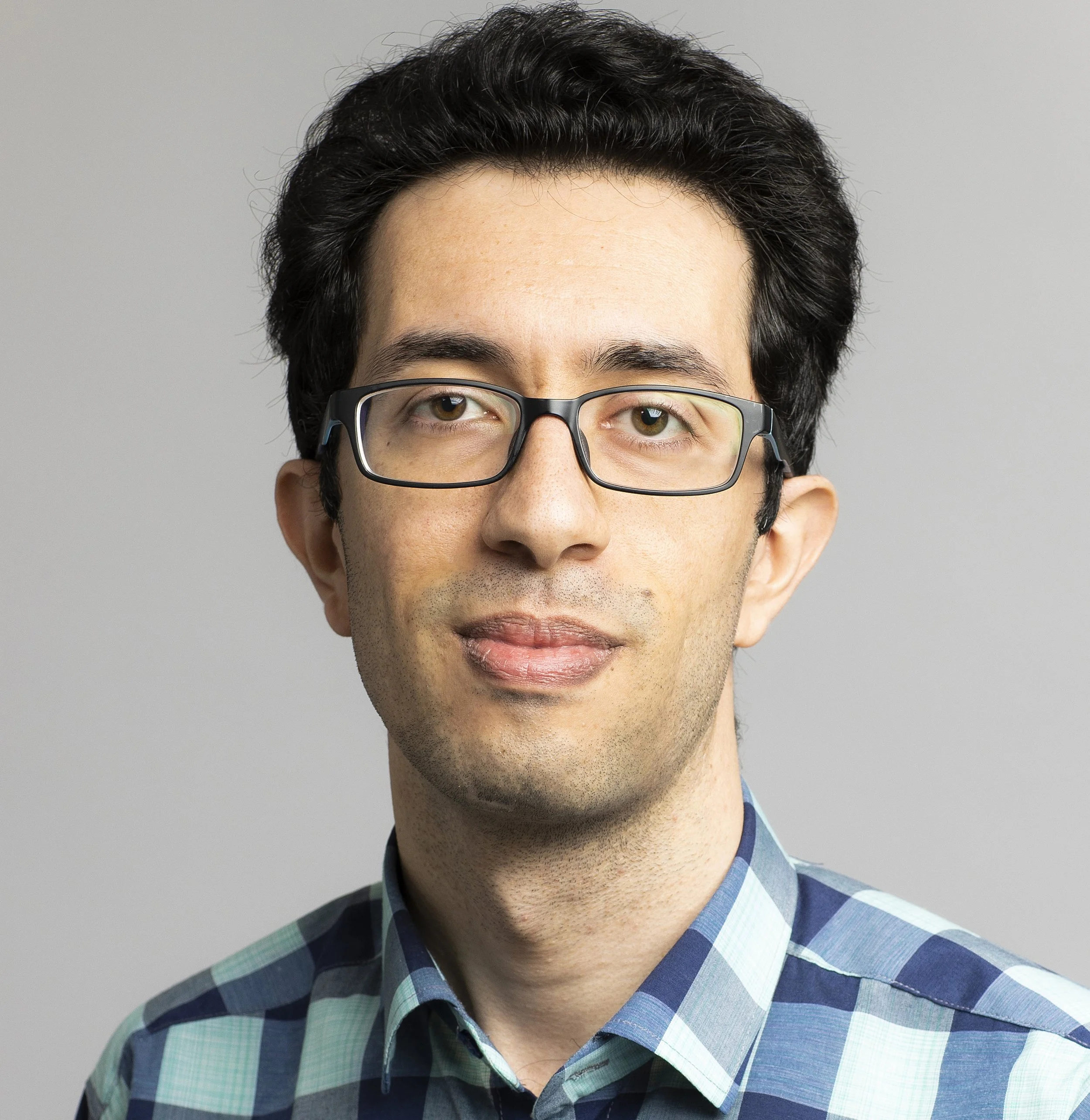
Dr Ehsan Farahbakhsh
Geodata Scientistis a geodata scientist specialising in exploration data processing, machine-learning-driven prospectivity modelling, and spectral and geological remote sensing. He has over a decade of experience in both academia and industry. His work spans cutting-edge multidimensional prospectivity models, including spatio-temporal approaches, and advanced computer vision workflows in mineral exploration. Ehsan has collaborated on exploration projects with BHP, Lithodat, Datarock, and several government geoscience agencies, delivering predictive models for critical mineral systems across Australia, Papua New Guinea, and the Tethyan belt. Since 2024, Ehsan has worked with GeoSpectra as a consultant on workflow development in AI spatio-temporal mineral prospectivity.
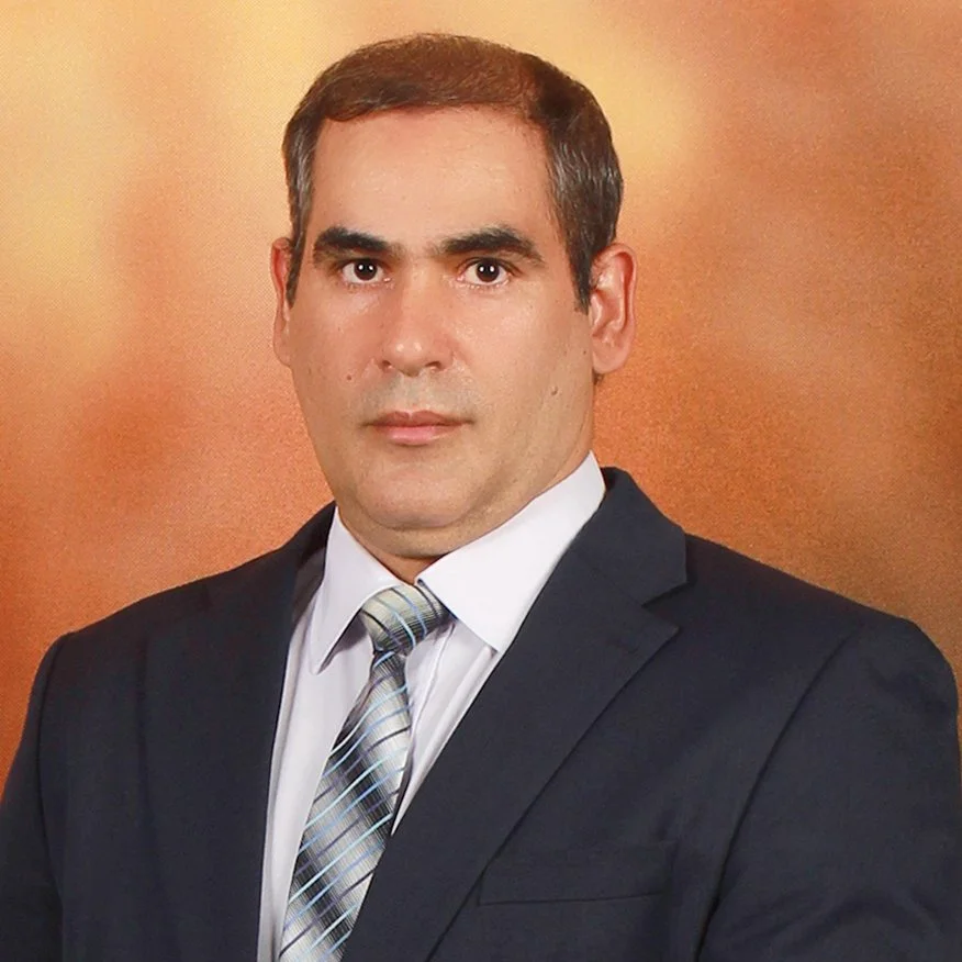
Dr. Amin Beiranvand Pour
Geospatial Analysistis a globally recognized expert in remote sensing and geospatial analysis for mineral exploration, with extensive experience integrating Earth observation data and artificial intelligence to support sustainable resource development. He has held senior research roles across the Asia–Pacific and polar regions and is consistently ranked among Stanford University’s World’s Top 2% Scientists (2018–2024). With an h-index of 54, over 9,000 citations, and more than 240 publications, he is one of the most highly cited researchers in geological remote sensing. His work spans a wide range of satellite and airborne sensors, and he is known for developing scalable, reproducible methods to map lithology, structural features, and hydrothermal alteration in complex, data-limited terrains, significantly improving mineral targeting and exploration efficiency. Amin joined GeoSpectra in 2026 as a consultant, processing multi-hyperspectral satellite data such as ASTER, WorldView-3, and EnMAP.

Shabnam Mazaherinia
GIS specialistis a GIS specialist with expertise in data management and hands-on experience in geospatial analysis, cartography, and risk assessment. Skilled in delivering accurate maps and spatial data to support large-scale operations. Strong background in interpreting and applying geospatial information for decision-making, managing complex datasets, and supporting operational processes. She has over 2 years of experience at GeoSpectra in database management and map generation for mineral exploration, utilising ArcGIS Pro, QGIS, and ENVI software.
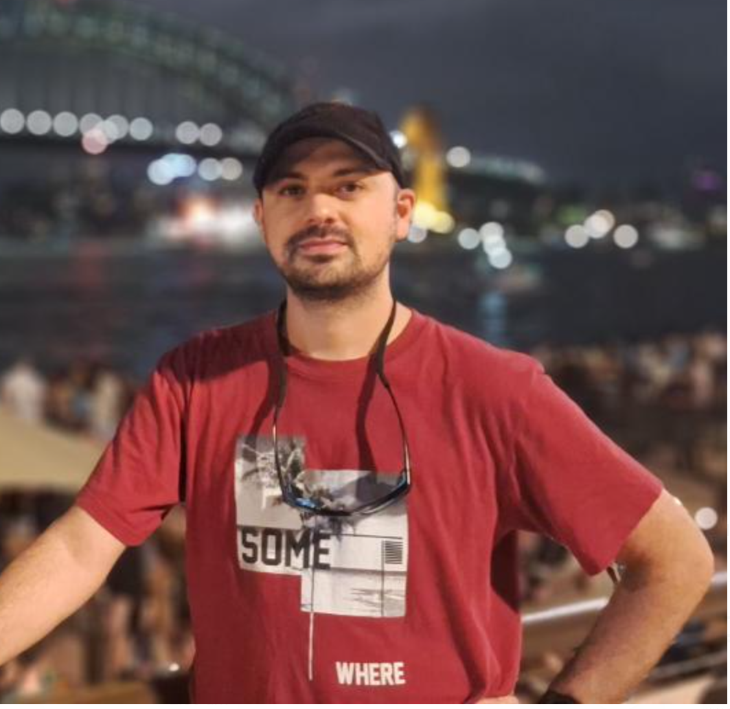
Pouya Kafili Vijvieh
Data Scientistis an Exploration Geologist and Data Scientist with over 14 years of experience in mineral exploration across field and office environments. He specialises in geological interpretation, exploration data management, QA/QC systems, GIS, remote sensing, and advanced target generation. He also applies Machine Learning and Artificial Intelligence to mineral prospectivity modelling, supporting data-driven exploration and improved targeting outcomes. Pouya holds a master’s degree in Mineral Exploration and is currently completing a master’s degree in data science. Pouya is a member of the Australasian Institute of Mining and Metallurgy and the Australian Institute of Geoscientists, demonstrating his commitment to professional standards and continuous development. Since early 2025, Pouya has been working with GeoSpectra as a consultant in mineral prospectivity.