
Mineral Mapping & Structural Analysis
Targeting Gallium–Germanium Mineralization with WorldView-3 Imagery
Advanced Mineral Mapping
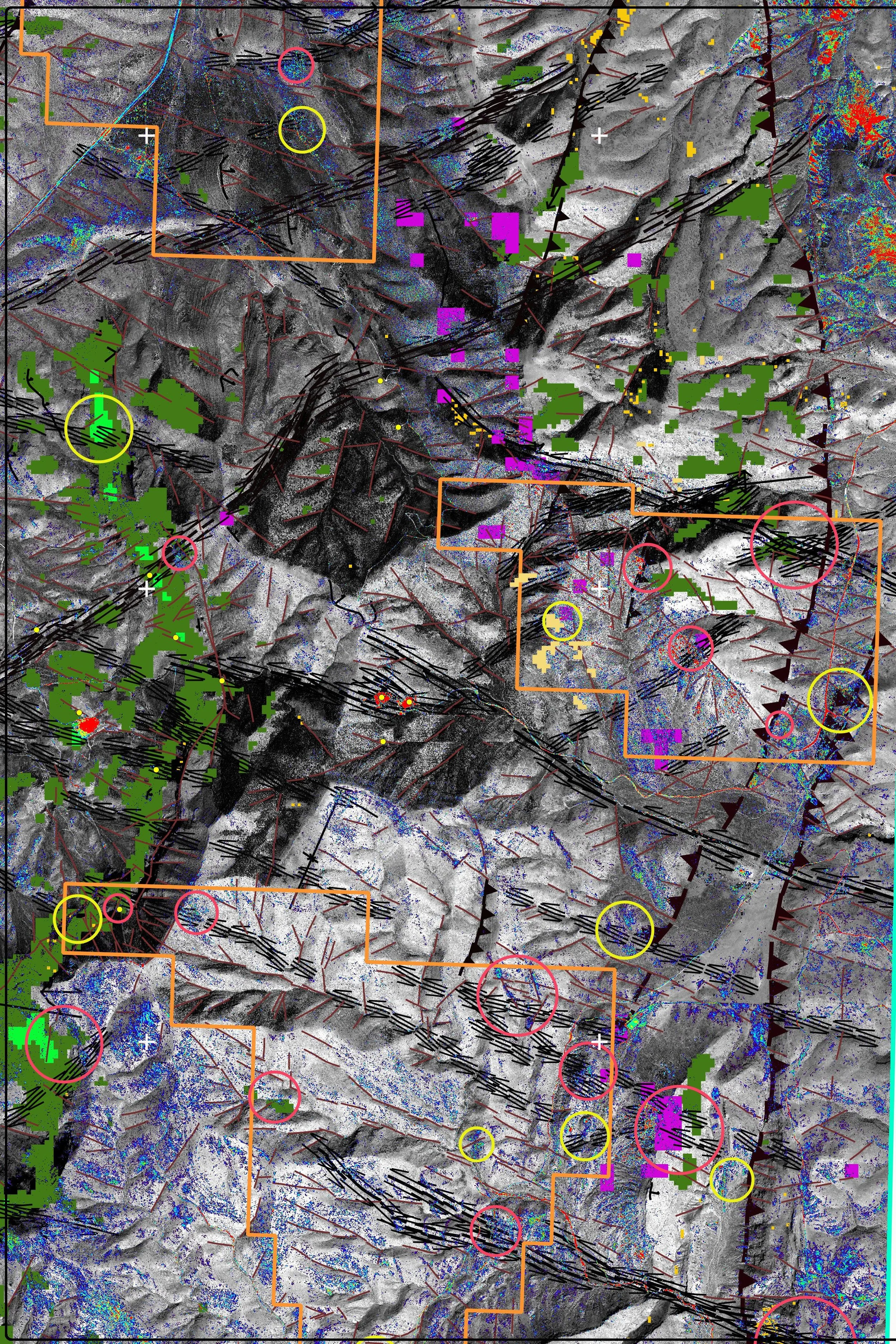
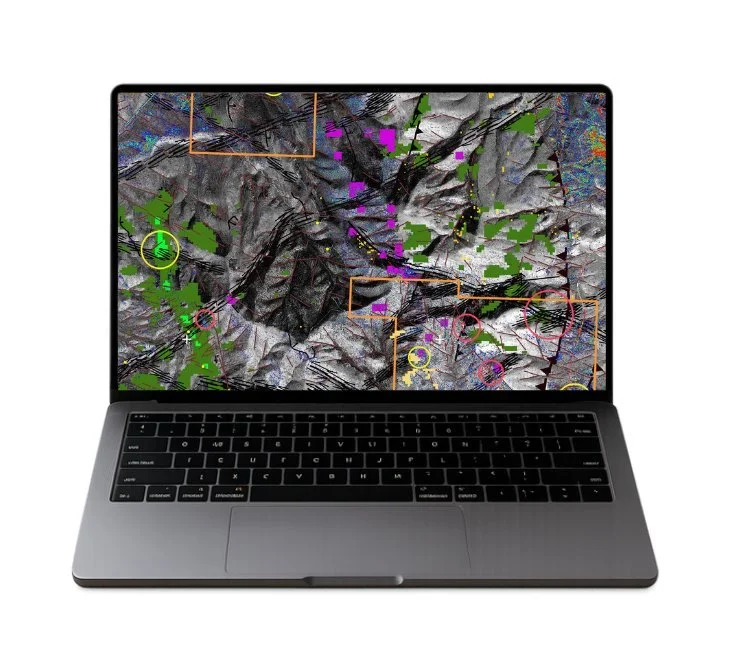
GeoSpectra combines high-resolution WorldView-3 imagery with mineralogical and geological analysis to identify alteration patterns and prospective areas associated with Mississippi Valley-Type (MVT) mineralization.
By integrating remote sensing and structural interpretation, the approach helps exploration teams better understand geological conditions and focus investigation on areas with stronger mineralization indicators.
WorldView-3 Mineral Mapping
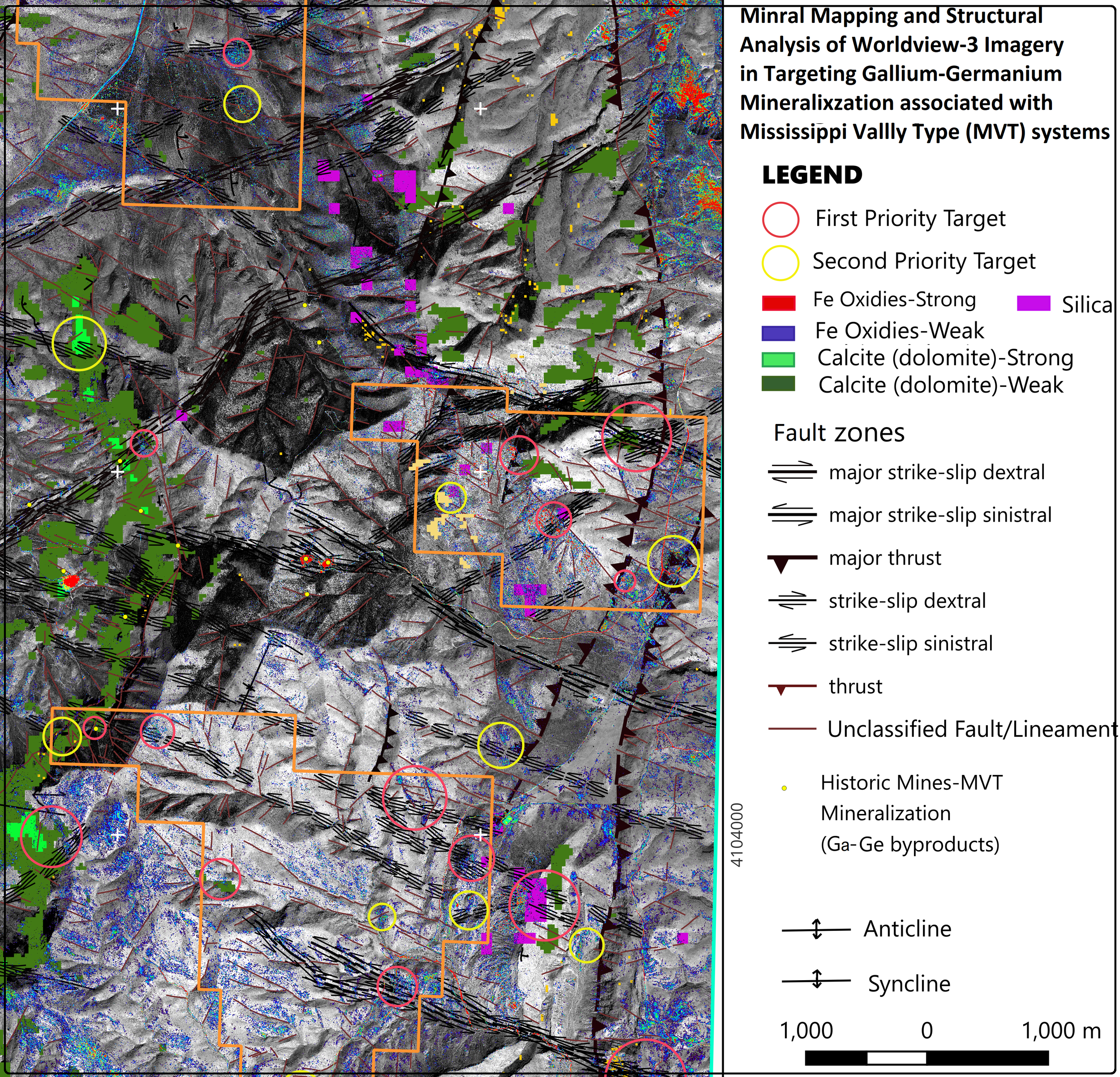
WorldView-3 imagery provides detailed spectral information for mapping mineral alteration across the exploration area. The analysis identifies key signatures associated with prospective geological environments, including iron oxides, calcite/dolomite and silica.
These mapped signatures provide an additional layer of information for evaluating mineralization potential and defining areas for further exploration.
Why Choose Us

Advanced Remote Sensing
High-resolution satellite imagery provides detailed spatial and spectral information for mineral exploration.

Integrated Structural Analysis
Mineral alteration data is evaluated alongside faults, lineaments, folds and other geological structures.

Target-Focused Exploration
Integrated datasets help identify and prioritize areas for follow-up investigation and exploration.
Structural Analysis
Understanding the structural framework is essential when evaluating mineralization systems. GeoSpectra interprets major fault zones, strike-slip structures, thrusts, lineaments, anticlines and synclines to establish the geological context of prospective areas.
Combining structural interpretation with mineral alteration mapping provides a more comprehensive framework for identifying exploration targets.