
Image Processing
Some satellite imagery require geometric (orthorectification), radiometric and atmospheric corrections before spectral analyses. GeoSpectra has developed inhouse workflows to correct and apply 2D and 3D enhancement of the multi- and hyperspectral satellite imagery (videos and images) for advanced interpretation.

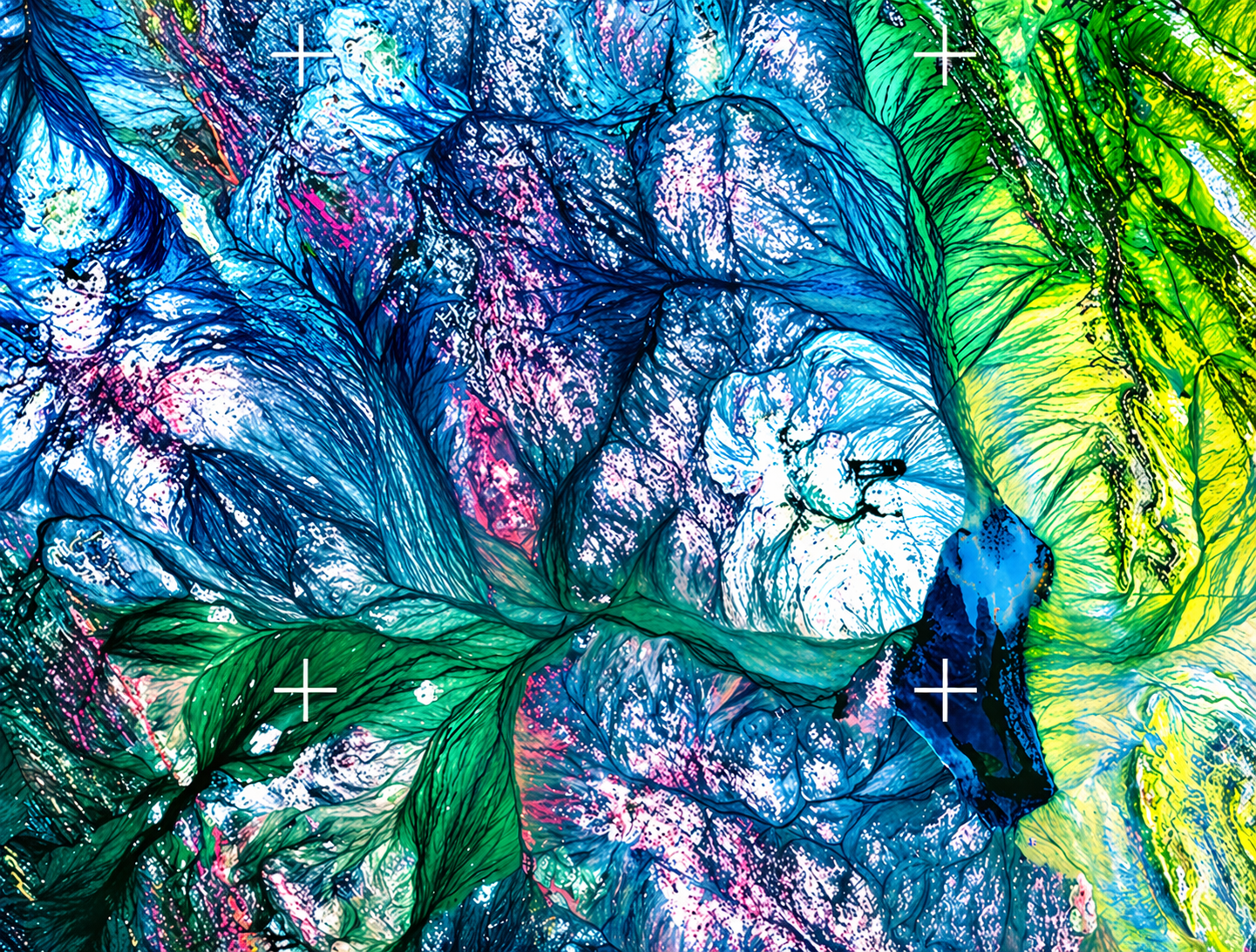
Enhancing Data for Better Geological Interpretation
Satellite and remote sensing imagery often contains geological information that requires advanced processing to reveal its full value. GeoSpectra applies specialised enhancement techniques to improve feature visibility, highlight mineralisation indicators, and enhance geological interpretation.
Our workflows support structural mapping, lithological discrimination, alteration zone enhancement, and regional geological analysis, helping exploration teams improve targeting confidence and decision-making.
Core Image Processing Capabilities
Multispectral and hyperspectral image enhancement
False colour composite generation
Band ratio analysis
Principal Component Analysis (PCA)
Edge enhancement and lineament extraction
Structural and lithological interpretation
Our Processing Workflow

Data Preparation
Raw satellite imagery is corrected, calibrated, and prepared for advanced analysis.

Image Enhancement
Specialised processing techniques are applied to improve visibility of geological features and alteration patterns.

Geological Interpretation
Processed outputs are integrated with geological knowledge to identify structures, lithologies, and exploration targets.
Supporting Smarter Exploration Outcomes
Advanced image processing plays a critical role in transforming raw remote sensing data into meaningful geological insights. By enhancing subtle surface features and improving data interpretation, exploration teams can better identify structural controls, alteration zones, and prospective mineral targets.
This approach reduces interpretation uncertainty, improves regional understanding, and supports more efficient exploration planning. GeoSpectra combines advanced processing techniques with geological expertise to deliver accurate, exploration-focused results for projects at regional and district scales.